Is the Trinity Aquifer running dry?
The spring rains pulled the Hill Country out of surface drought in 2026, but the aquifer that feeds your well has not caught up. Here is where things really stand.
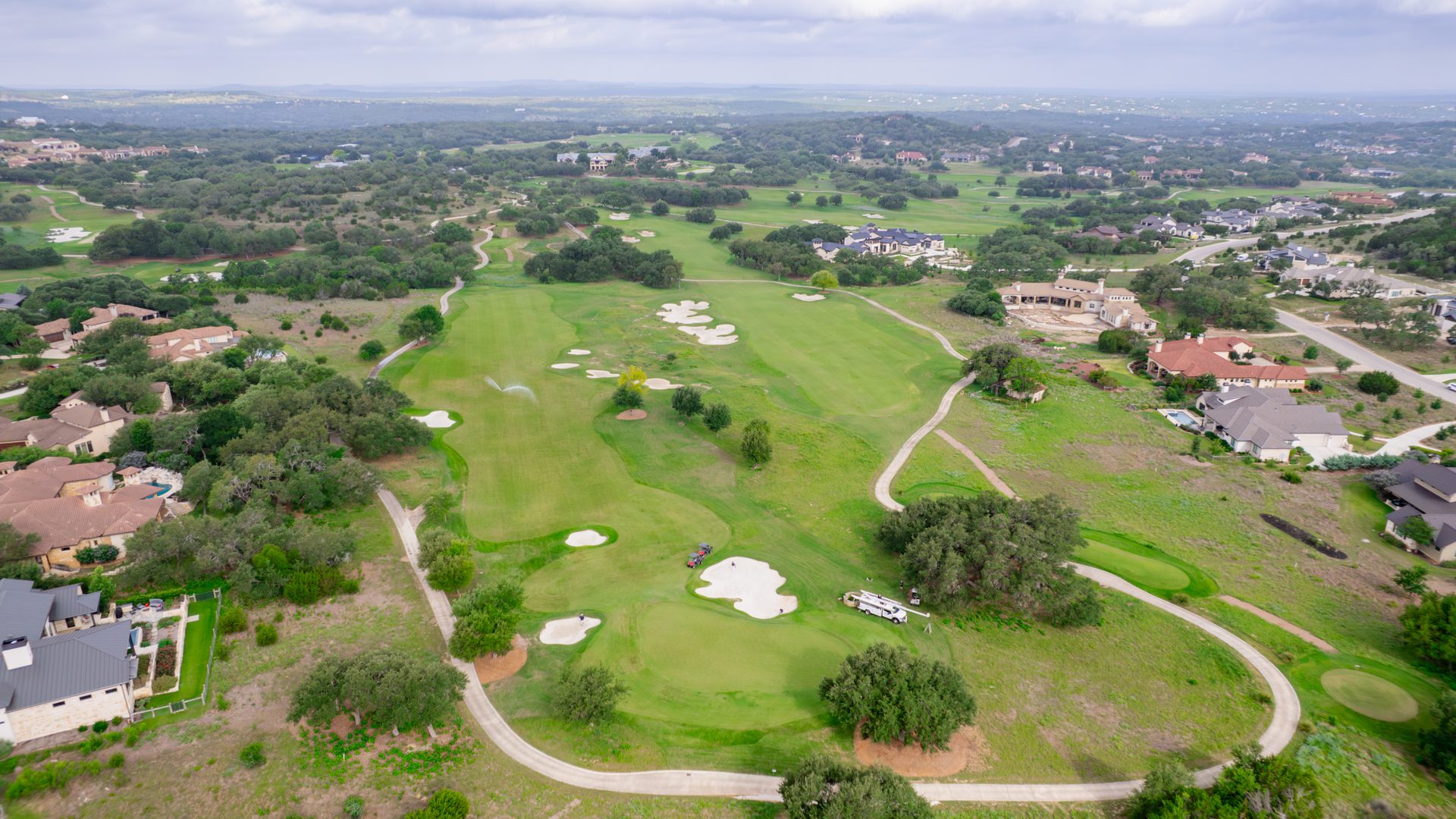
The rain helped the surface, not the aquifer. By mid-June 2026, after a wet spring, the US Drought Monitor had eased all seven Hill Country counties we serve (Kendall, Kerr, Comal, Hays, Bandera, Gillespie, and Blanco) to "None." Good news above ground. Below ground is another story.
The Trinity Aquifer sat at or near its lowest levels on record. In March 2026 the Hays Trinity Groundwater Conservation District reported (via KUT News) that 100 percent of its monitored wells were below historic levels, the worst conditions in the district's 20-plus year history, worse even than the 2011 drought. Regionally the Trinity has dropped on the order of 30 feet since 2021, and most Hill Country districts remained in elevated drought stages well into 2026.
Conditions change with every storm and Board meeting. This snapshot reflects June 2026; check the live sources linked below for the current status before you rely on it.
Surface drought ends in a season. Aquifer drought does not.
This is the part most people miss. A few big storms can green up the hills, fill the creeks, and clear the drought map in a matter of weeks. But that water has to soak down through hundreds of feet of rock to reach the aquifer your well draws from, and that takes months to years of sustained, above-average rain. A single wet spring barely moves a deep water level. So you can have a lush yard sitting on top of an aquifer that is still near record lows, which is exactly where the Hill Country found itself in 2026.
How we know: monitor wells and spring flow
Trinity levels are tracked through depth-to-water readings in dedicated monitor wells, reported into the Texas Water Development Board's groundwater database, and through the local districts' own monitor networks. A second, very visible gauge is spring flow, and the most-watched spring in the region is Jacob's Well.
Jacob's Well: the canary in the Hill Country
Jacob's Well, the iconic karst spring near Wimberley, is fed by the same Middle Trinity Aquifer that supplies wells across the eastern Hill Country, which makes its flow a real-time bellwether of aquifer health. Here is what should give every well owner pause: Jacob's Well did not stop flowing even during the 1950s drought of record. Yet it has now ceased flowing at least five times since 2000 (in 2000, 2008, 2011, 2013, and again starting in October 2022), and it remained dry through the spring 2026 rains. When a spring that ran through the worst drought in living memory goes dry repeatedly, the aquifer is telling you something.
Why the decline: drought meets growth
Drought cuts off recharge, but growth is the other half of the story. As the Hill Country has boomed, the number of wells pumping the Trinity has climbed dramatically. Across Blanco, Gillespie, Hays, and Kendall counties, pumping roughly doubled between 1980 and 1997, and unregulated Trinity pumping in the region kept climbing from there. Hays and Comal have repeatedly ranked among the fastest-growing counties in the country. More straws in the same cup, drawn down faster than drought-limited rain can refill it. You can read more about the formations involved in our guide to Hill Country aquifers.
What it means for your well
Lower aquifer levels show up at your wellhead as a lower static water level, the depth at which water stands in your well when the pump is off. In hard-hit western Hays County, levels that used to recover to around 500 feet have been sitting closer to 660 to 690 feet. Shallower Upper and Middle Trinity wells are the most at risk of going dry or producing only intermittently. If yours starts sputtering air or losing pressure, that can be an early warning. Your options, roughly cheapest to most expensive:
- Lower the pump if there is water and casing depth below it. Often the first and least expensive fix.
- Hydrofracturing to open the rock fractures that feed the well and improve its flow.
- Add a storage tank so a slower well can keep up with peak demand by filling a reserve around the clock.
- Deepen the well or drill a new, deeper one as a last resort. Deeper wells increasingly reach the confined Lower Trinity, which recharges very slowly, so this is a serious, costly step.
Our guide to a well that has run low breaks down each option and what it costs. The right move depends on your specific well, which is why we measure first and recommend second.
What you can do now
- Conserve, starting outdoors. Lawn irrigation is usually the biggest draw on a home well. Cutting it back eases the drawdown on your own well, not just the aquifer.
- Know your static level. Having it measured now gives you a baseline, so you can see trouble coming instead of discovering it at a dry tap.
- Follow your district's drought rules. See Hill Country drought stages and what they require, and find your district on our groundwater district guide.
- Plan ahead in a drought. Our guide to protecting your well during drought has practical steps.
Check current conditions yourself
Do not rely on rumor or a single number on a website. These authoritative sources are updated continuously:
- US Drought Monitor, Texas map, updated every Thursday.
- Water Data for Texas (Texas Water Development Board), for individual monitor wells.
- Your own groundwater conservation district's drought page, linked from each district on our district guide.
Why your well and your neighbor's can be completely different
It surprises a lot of people: you and a neighbor can drill a few hundred feet apart and still end up with wells at different depths, with different water levels and very different output. It is not luck, and it is not a mistake. It is the nature of the Trinity Aquifer under the Hill Country, which is highly compartmentalized with variable permeability. Here is what is going on.
- You may be drawing from different layers. The Trinity is a stack of zones, not one big reservoir. One well might bottom out in the Hensell Sand while a neighbor pulls from the Glen Rose limestone or a deeper bed, and each layer has its own water level, pressure, and yield.
- The rock gives up water through cracks, not evenly. Most of the water moves through fractures and dissolved channels in the limestone, and those are scattered unpredictably. One borehole can hit a productive fracture and flow well while another a short distance away hits tight rock and barely produces.
- Shale layers and faults wall the zones off. Beds of shale, like the Hammett Shale, and the faults that run through the Hill Country split the aquifer into compartments that are not always connected. That is why the static water level in your well and your neighbor's can sit at completely different depths on the same street.
- Depth itself changes across the county. The same layers sit deeper as you move south and east, so a depth that works on one property can be too shallow or too deep a mile away.
This is exactly why we do not quote a one-size-fits-all depth or promise a flow rate sight unseen. Before we drill, we study the records from wells near you and the local geology, and on an existing well we measure the depth, the water level, and the output first. The cross-section below shows how those layers stack up under a typical property in the Boerne area.
Frequently asked questions
Is the Trinity Aquifer running dry?
Not in the sense of disappearing, but Hill Country Trinity levels are near the lowest on record. In spring 2026 the Hays Trinity district reported 100 percent of its monitored wells below historic levels, the worst in its 20-plus year history. Levels fall in drought and with heavy pumping, and recover slowly when sustained rain returns. The aquifer is stressed, not gone, and how your individual well fares depends on its depth and location.
Did the 2026 rains fix the aquifer?
They helped the surface, not the aquifer, at least not yet. Spring 2026 rains pulled all seven Hill Country counties out of drought on the US Drought Monitor by mid-June, but groundwater recovery lags surface rainfall by months to years. Many districts stayed in elevated drought stages, and the Trinity remained well below normal. A wet season refills creeks and soil long before it refills a deep aquifer.
Why is the Trinity Aquifer declining?
Two forces together: drought and growth. The Hill Country is one of the fastest-growing parts of the country, so there are far more wells pumping the same aquifer than there were a generation ago, the classic too many straws in one cup problem. Add multi-year drought that cuts off recharge, and levels drop faster than they refill.
What should I do if my well is affected by low aquifer levels?
Have a licensed driller measure your well's water level, depth, and yield first, then pick the least costly fix that works: lowering the pump, hydrofracturing to improve flow, deepening the well, adding a storage tank to ride out peaks, or, as a last resort, a new deeper well. Our guide to a well that has run low walks through the options and rough costs.
How can I check current aquifer and drought conditions myself?
Bookmark the live sources: the US Drought Monitor Texas map, Water Data for Texas from the Texas Water Development Board for individual monitor wells, and your own groundwater conservation district's drought page. Those are updated continuously and are the authoritative place to see where things stand on any given day.
Which part of the Trinity does my well in Kendall County draw from?
Almost every well in Kendall County and the Boerne area draws from the Trinity Aquifer, the main groundwater source for this part of the Hill Country. Most domestic wells are completed in the Middle Trinity, the producing zone made up of the Lower Glen Rose, the Hensell Sand, and the Cow Creek Limestone, with the Hensell usually the best producer of the three. Some wells go deeper into the Lower Trinity, the Hosston and Sligo formations, which is generally deeper and lower yielding. The Cow Creek Groundwater Conservation District manages Trinity use across the county.
Why is my neighbor's well so different from mine when we live close together?
The Trinity here is highly compartmentalized with variable permeability, which means the water-bearing layers are broken up and not evenly connected. How much water a well makes often comes down to whether the borehole happens to intersect a productive fracture, sand, or solution channel, and those can change sharply over a short distance, so one property can have a strong well while a neighbor a few hundred feet away has a weaker one at a different depth. Shale layers and Hill Country faulting add to it by stacking the aquifer into separate zones that are not always connected. It is common enough that water levels in adjacent wells finished in different layers do not even match.
How deep do wells go into the Trinity around Boerne?
Depth varies widely across the county, and the most reliable guide is the records from nearby wells. Most wells here are finished in the Middle Trinity, and depending on where you sit and how the layers lie, that can range from a few hundred feet to roughly a thousand feet, with wells that reach the deeper Lower Trinity going deeper still. Depth generally increases as you move south and east, so two nearby properties can need very different wells. We look at local well records before we drill so there are no surprises.
How do Cibolo Creek and the Guadalupe River affect the aquifer?
Surface water and the Trinity are closely linked around Boerne. The headwaters of Cibolo Creek are spring-fed from the Trinity, so when heavy pumping pulls Trinity levels down, that spring flow can drop or even stop. The Guadalupe River works the other direction as a recharge source, so when it runs below its median flow in a drought, recharge to the aquifer is limited at the same time demand is highest. The Trinity recharges slowly to begin with, only about four to five percent of rainfall makes it into the aquifer, which is why levels recover gradually rather than after a single wet spell.
What should I know before drilling a new Trinity well here?
Expect variability. Yields in the Trinity are often modest and depend on the zones your well happens to intersect, so it pays to review records from nearby wells, plan for the depth that is typical in your part of the county, and budget for the chance you may need to go deeper than a neighbor did. You will also need to meet the Cow Creek Groundwater Conservation District's registration and well-construction rules, which we handle as part of the job, so it is worth sorting out early.
Will the water from my Trinity well be good quality?
Trinity water in this area is generally fresh but tends to be hard, since it moves through limestone, so many homeowners add softening or treatment for household use. Quality can vary with depth and location, and deeper, more confined zones can carry more dissolved minerals than shallower fresh ones. The only way to know what you have is to test your own well, because results differ from one property to the next.
Worried about your well in a drought?
We can measure your static level, talk through your options, and help you plan ahead. Reach out for a free, honest assessment.